
October 29, 2021| Community, Environment
By: Holly Odgers
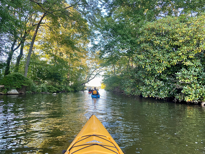
Lake Hopatcong, the largest freshwater body in New Jersey, was originally two separate lakes known as Great Pond and Little Pond. The lake was first dammed in the 1750s and was raised two additional times to reach the lake we know today in the 1840s.
The dam at Hopatcong State Park is still used today to control the level and outflow of the lake, releasing water from Lake Hopatcong into the Musconetcong River. The lake level is managed by Hopatcong State Park in accordance with the New Jersey Department of Environmental Protection’s (NJDEP) Lake Hopatcong Water Level Management Plan along with the adjustments to that plan in the 2016 Lake Hopatcong Water Level Management Pilot Program, which reduced the level of the annual drawdown.
The Lake Hopatcong Water Level Management Plan was established to “protect the environmental health and the natural, and scenic resources of Lake Hopatcong / Musconetcong River System, maximize recreational opportunities, minimize the potential for damage to property and waterfront structures while maintaining the minimum flow requirements necessary to protect downstream uses."
To that end, the plan institutes a set of management and operational guidelines to maintain a lake elevation as near as possible to 9 feet from May to mid-November conditions permitting, while also meeting the requirements of downstream uses (an exception is made during five-foot drawdown years when levels are lowered in mid- to late-September).
After the summer season, an annual drawdown of 22 inches is performed to prevent waterfront structures from ice damage and minimize the potential for property damage. This also permits some minor maintenance to be completed along the shoreline. A more substantial drawdown of 60 inches occurs every five years to provide lakefront property owners time to perform more significant repairs or replacement of shoreline structures. It also provides an opportunity for any necessary dam maintenance or repair. Once the lake has reached the intended drawdown level, a static water level is maintained, to the extent possible, to reduce ice damage potential throughout the winter.
Based on the Lake Hopatcong Water Level Management Plan, the proposed drawdown levels are as follows:
2021 22” drawdown / 7.16’ gage height
2022 22” drawdown / 7.16’ gage height
2023 60” drawdown / 4’ gage height
Recent rainfall and current lake levels are taken into account when determining the drawdown initiation date each year, however, it generally begins in mid-November. Given the heavy rainfall we experienced in late October, the State Park anticipates an estimated start date for 2021 of November 8 (this date has been updated since the original posting of this article). The goal is to reach the 22” drawdown level, or a gage height of 7.16’, by December 15. The U.S. Geological Survey (USGS) monitors water level, outflow, and rain data on Lake Hopatcong. Their data can be viewed HERE.
The water level will then be maintained until a spring thaw has softened the ice on the lake sufficient to avoid ice damage to private property. Once the spring thaw is underway, flow will be reduced at the dam to a level to both maintain sufficient flow to the Musconetcong River and allow refill of the lake, given adequate rainfall, to the elevation of 9 feet.

NJDEP 2011 Lake Hopatcong Water Level Management Plan
NJDEP 2016 Lake Hopatcong Water Level Management Pilot Program