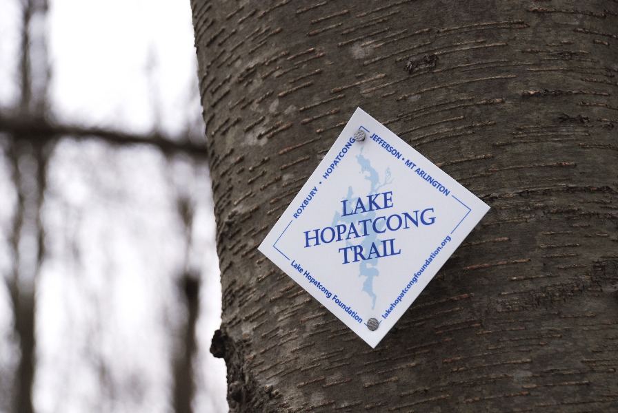
The Lake Hopatcong Trail, established by the Lake Hopatcong Foundation, stretches approximately 12 miles along the western side of Lake Hopatcong. The trail begins on the Morris Canal Towpath across from Hopatcong State Park in Landing and winds through Hopatcong Borough all the way to Liffy Island in Jefferson Township and features several spurs and multiple access points.
Whether you're seeking a leisurely stroll or a more challenging hike, the Lake Hopatcong Trail provides an opportunity to connect with nature and appreciate the beauty of our area.
The development of the Lake Hopatcong Trail was made possible through funding from the Federal Highway Administration's Recreational Trails Program, administered by the New Jersey Department of Environmental Protection.
Lake Hopatcong Trail Map PDF Lake Hopatcong Trail Brochure
Please Note:
Several miles of the Lake Hopatcong Trail align with the Highlands Trail, which runs for 182 miles connecting the Delaware River to the Hudson River. The New York-New Jersey Trail Conference maintains the trail.
Approximately 2 miles of the trail aligns with the James Leech Trail from Prospect Point Preserve to Liffy Island in Jefferson Township. This section is not currently shown on the Lake Hopatcong Trail map, however, the trail entrance at Prospect Point Preserve is behind the basketball courts and is marked with a kiosk and blazes.
Get inspired by the outdoor places close to you. Discover the Lake Hopatcong Trail on the OuterSpatial app, where you can access outdoor recreation details and exciting challenges tailored to your area!
While hiking the Lake Hopatcong Trail you can use your mobile device to find your exact location on the trail map through the free Avenza Maps app. The above geo-referenced PDF trail map can be imported into the Avenza Maps app directly from its URL.
You can view your location on the trail from open street maps data on apps like All Trails, Strava, and Gaia GPS.
Volunteers are needed to maintain this local trail. If you would like to adopt a section of the trail to maintain, CLICK HERE for more information.