June 08, 2026| Community, Environment, Recreation
By: Holly Odgers
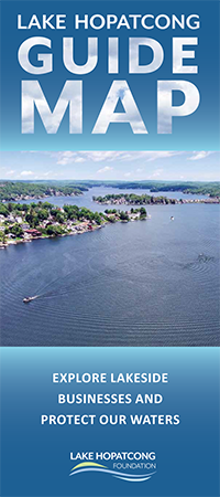 We're excited to announce the release of an updated Lake Hopatcong Guide Map - the first major update in more than a decade!
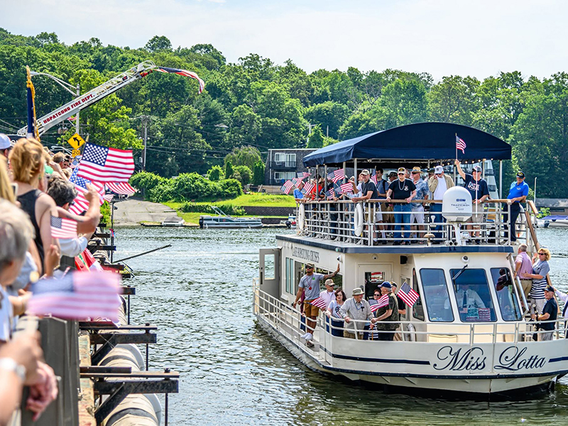
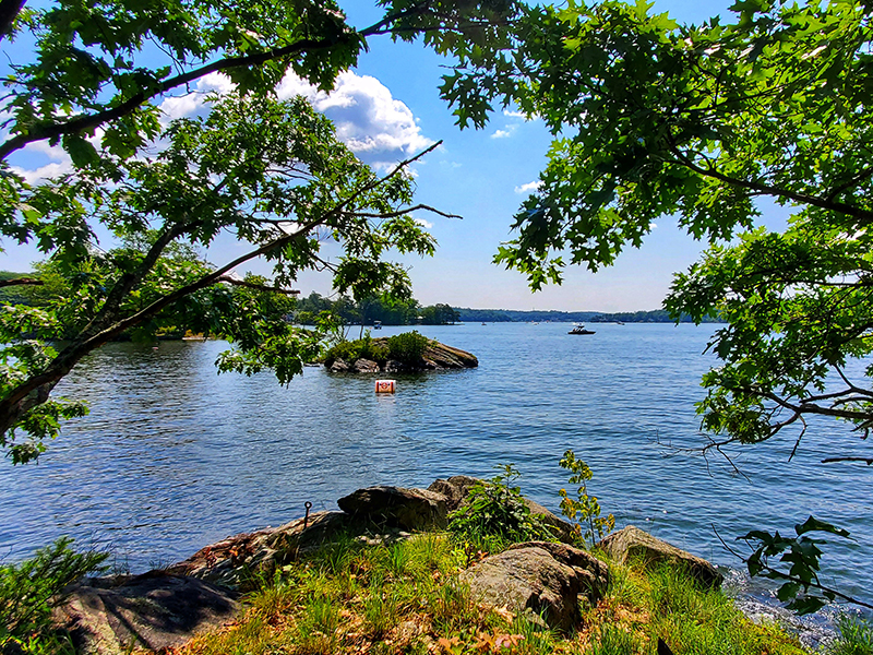
Whether you're a longtime lake user or visiting for the first time, the guide map is a handy resource for exploring and enjoying New Jersey's largest lake. It includes public access points, marinas, waterfront restaurants, public boat launches, fuel stations, pump-out stations, parks, public swimming areas, and other amenities, along with important contacts and phone numbers, including law enforcement and emergency services.
The guide map also includes information about aquatic invasive species and how you can help prevent their spread. These species are often spread unintentionally when boats, kayaks, fishing gear, and other equipment are moved from one waterbody to another. Help protect Lake Hopatcong by remembering to Clean, Drain, Dry your boat and gear—every waterbody, every time.
Copies of the guide map have been distributed to many marinas around the lake, making it easy to pick one up before your next outing. You can also stop by our office at 125 Landing Road in Landing to pick up a copy. We are typically open on weekdays from 9 am to 4 pm. We will also have copies available at our table at the Lake Hopatcong Antique & Classic Boat Show on Saturday, June 18, from 10 am to 4 pm at the Lake Hopatcong Yacht Club, 75 N Bertrand Road in Mount Arlington. Stop by and see us!
The updated guide map was made possible through the generous support of the Alice C. Tyler Perpetual Trust.
Pick up your free guide map today or view an online version HERE.